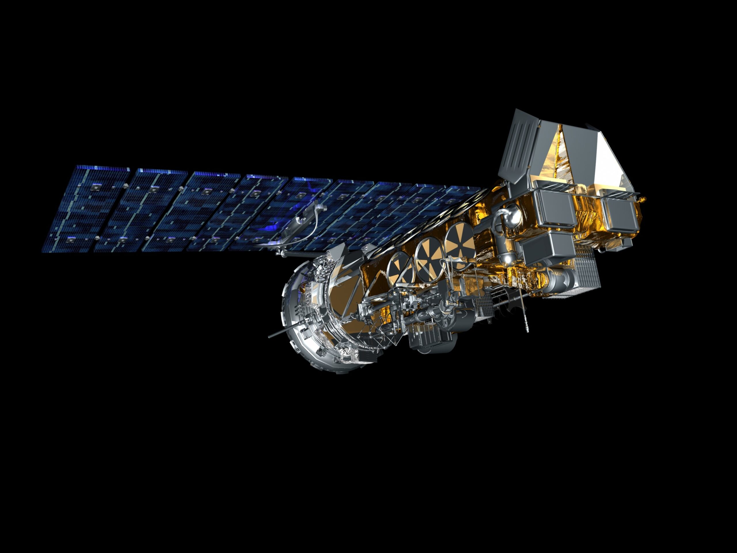
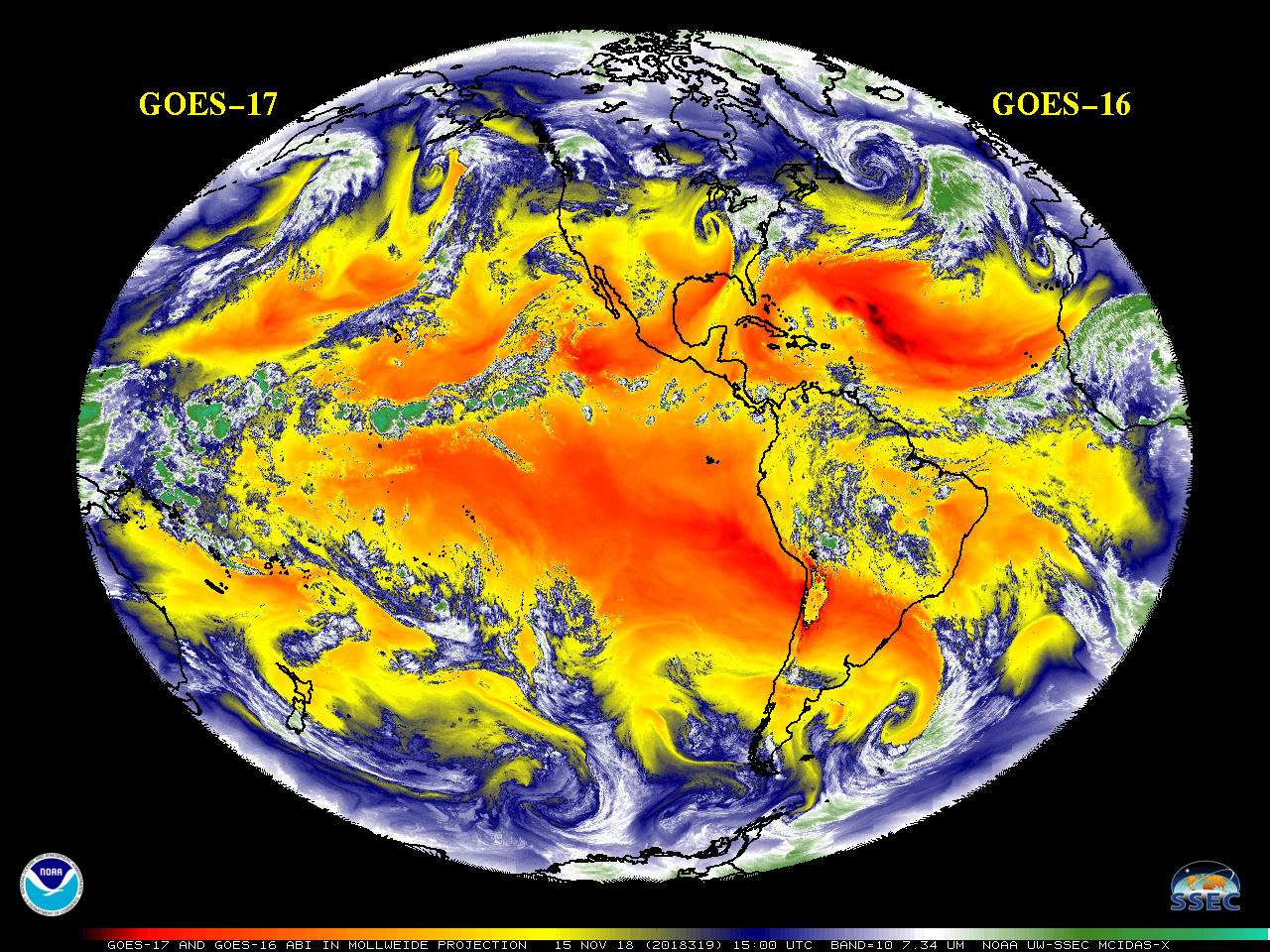
May 11, 2022, NOAA shared the first images of the Western Hemisphere from its GOES-18 satellite. The satellite’s Advanced Baseline Imager (ABI) instrument recently captured stunning views of Earth.
GOES-18, NOAA’s newest geostationary satellite, launched on March 1. The ABI views Earth with sixteen different channels, each measuring energy at different wavelengths along the electromagnetic spectrum to obtain information about Earth’s atmosphere, land, and ocean.

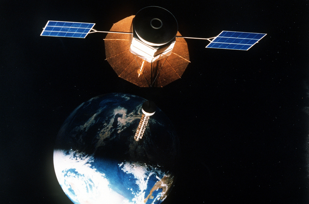
GOES-18 orbits 22,236 miles above the equator at the same speed the Earth rotates. This allows the satellite to constantly view the same area of the planet and track weather conditions and hazards as they happen.
Beyond terrestrial observations, GOES-18 contributes to space weather monitoring. It is equipped to detect solar flares and monitor geomagnetic storms, providing early warnings for potential disruptions to communication and navigation systems, as well as power grids.


